|
|
WARNING/DISCLAIMER: Hiking can be dangerous and the information furnished below may contain errors! |
(Please note that the details below haven't been checked in 10+ years!)
Harriman State Park: The Iron Mine Hike
Total Distance:
6.5 miles (1,050' vertical rise)From the northwest corner of the parking lot take the Long Path (blue blazes). The trail will merge on a roadway with the Dunning Trail (yellow blazes). Turn left on the combined trail. In a short distance they split. Continue on the Long Path. When the Long Path combines with the Arden-Sturbridge (ASB, red blazes) reaches Times Square make a left onto the Ramapo-Dunderberg trail (red blazes).
Make a right turn onto the Lichen trail (blue blazes). When it intersects the ASB. Turn left onto the ASB until you intersect the Appalachian Trail (white blazes). Turn right onto the Appalachian Trail. (Eat lunch on top of Island Pond Mountain??)
Turn right onto the Surebridge Mine (or Lost Mine) Road. Take this road back to Times Square. Turn left onto the ASBand take it pack to the parking area.
Alternative Version #1:
After initially taking the Long Path atthe beginning, take the Ramapo Dunderberg until the Dunning Trail (yellow blazes). Make a right onto the Dunning and then another right onto the White Bar trail (white blazes) and take it until you intersect the ASB trail (red blazes). Finish the hike as outlined above. This adds about 0.75 miles to the total hiking distance. (7/98)Alternate Version #2: Long Path (blue) to Dunning (yellow). Left onto Dunning (westward). Right turn onto White Bar trail (white). Left onto ASB (red), right onto AT (white). Right onto Surebridge Mine Road. Second left onto ASB (red, second red trail, just beyond Times Square). (
5:20 - 7 people, 9/98)References: NY-NJ Trail Conference Map #4, 50 Hikes in the Hudson Valley (second edition, p.30-34)
Driving Directions from New York City
Take the George Washington Bridge to the Palisades Interstate Highway heading North. In about 19 miles exit the parkway at exit 9W onto the Thruway (Route 87/287) which heads west. About 10 miles later, exit the Thruway at exit 15A. At the exit turn left onto Route 17 North. After about 2.5 miles, just north of the main street area in Sloatsburg, make a right onto Seven Lakes Drive.
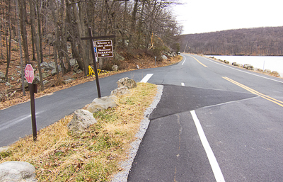
Drive about 8 miles (passing a traffic circle) on Seven Lakes Drive and park in a parking area for Lake Skannatati on the left side of the road (Lake Askoti is on the right side of the road). The parking area (
N 41.24221, W 074.10215) is gotten to by turning left and driving down a very short road (there is a sign at the turnoff) and is less than a mile north of the traffic circle. The entire trip is about 47 miles and should take an hour without traffic.Click here for What to Bring on a Hike
Click here for Information for Group Hikes
Questions: Michael Brochstein
 |
 |
|
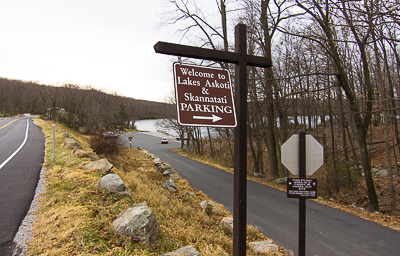
| "Welcome to Lakes Askoti & Skannatati. Parking" (November 2012) | ||
 |
 |
|
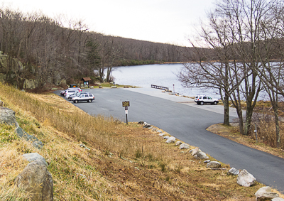
| Parking area (November 2012) | Area (on the right) where both the Long Path and Arden-Surebridge trails can be found (November 2012). | |
 |
 |
|
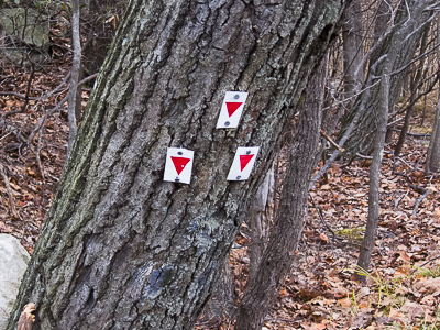
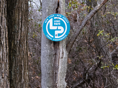
| The Arden-Surebridge trailhead. (November 2012) | Marker for the Long Path (blue blazes are also used). (November 2012) | |
 |
||
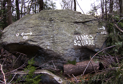
| "Times Square" (November 2012) | ||
 |
||
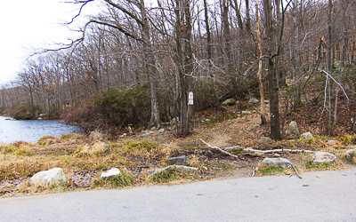
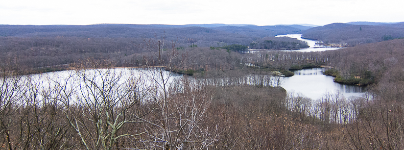
| View from the Arden-Surebridge trail near the parking area. (November 2012) | ||
Last updated: 9/1998