|
|
WARNING/DISCLAIMER: Hiking can be dangerous and the information furnished below may contain errors! |
Sterling Fire Tower Hike
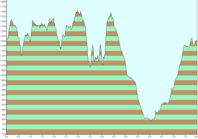
Total Distance: 8 (or 9.5) miles
Difficulty: Medium (small / medium hills)
Estimated hiking time: 4 hours (group)
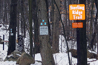
Take the Sterling Ridge trail (blue blazes) south (continue straight when you pass the orange blazed Bare Rock trail) until you get to the Sterling Forest Fire Tower. This is a nice place to eat lunch.
Now make a hard left from the way you came and take the Fire Tower trail (red square blazes with a horizontal line through the blaze) which is really an unpaved woods road east (please note that if you see blue and red blazes together then you are heading the wrong way). Turn left onto the Fire Tower Connector trail (red triangle blazes) which is also an unpaved woods road and take it until you reach a paved road.
Turn left to take the Sterling Lake Loop trail (blue blazes, an unpaved road north until you see the Sterling Valley Loop trail (yellow blazes). Take the Sterling Valley Loop trail (an unpaved woods road) north back to the parking lot.
Alternative: After reaching the junction of the Fire Tower Connector trail and the Sterling Lake Loop trail, make a right and take the Sterling Lake Loop Trail south-eastward and in about 0.75 miles you will get to the Visitor's Center. This alternative has not been "tested"!
References: NY-NJTC Trail Map 100 (Sterling Forest Trails), "Take A Hike New York City" by Skip Card p.135-137, March 2006 edition.
Driving Directions from New York City
Take the George Washington Bridge to the Palisades Interstate Highway heading North.
In about 19 miles exit the parkway at exit 9W onto the Thruway (Route 87/287) which heads west.
About 10 miles later, exit the Thruway at exit 15A. At the exit turn left onto Route 17 North.
After about 4.9 miles you will see the Tuxedo (Park) Train and Police Stations on your right. Continue straight.
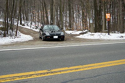
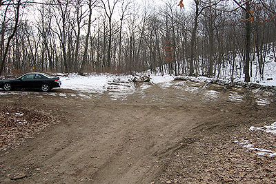
In about 2.5 miles turn left onto Route 17A West. Drive about 5.8 miles on Route 17A West and then make a left turn onto a dirt road at the sign "Sterling Ridge Trail". An unpaved parking area is about one-tenth of a mile up the road. Park here. (N 41.13783, W 74.15609).
The entire trip is about 50 miles from NYC and should take about an hour.
Click here for What to Bring on a Hike
Click here for Information for Group Hikes
 |
 |
|
| The dirt road (and the sign "Sterling Ridge Trail") which you should turn left onto from Route 17A West (January 2008). | A Close-up of the sign (January 2008). | |
 |
 |
|
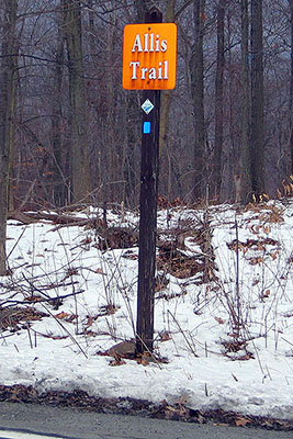
| On the right side of the road (Route 17A), opposite the sign for Sterling Ridge Trail is another sign delineating another trail, the Allis Trail" (January 2008). | The parking area where you should park (January 2008). | |
 |
 |
|
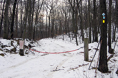
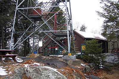
| The start of the hike is here, at the far end of the parking area. Note the trail blazes on the tree on the right (January 2008). | The base of the Sterling Forest Fire Tower and the Ranger Station (January 2008). | |
 |
 |
|
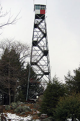
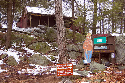
| The Sterling Forest Fire Tower (January 2008). | The Ranger Station by the Sterling Forest Fire Tower (January 2008). | |
 |
 |
|
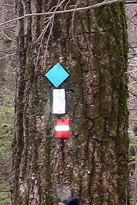
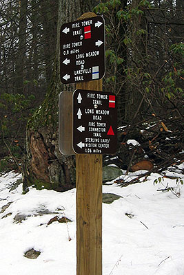
| If after reaching the Sterling Forest Fire Tower you then head on a trail with all of these markings then you have gone the wrong way from the Fire Tower. Go back and find a trail which only has the red blazes shown above. (January 2008). | One of various directional signs you will see later on in the hike (January 2008). | |
 |
||
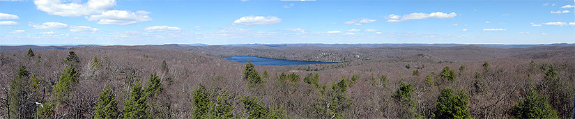
| A panoramic view taken from near the top of the Sterling Forest fire tower in April 2009 (before leaves were on the trees). | ||
 |
||
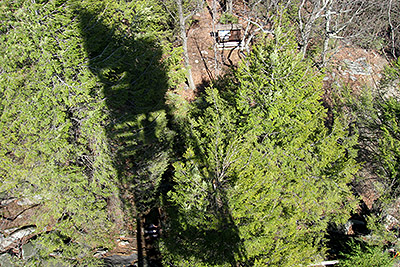
| A view from near the top of the Sterling Forest fire tower (note the shadow of the tower, and me, that is slightly left of center). The steps up the tower are not always open to the public (call the visitor's center to check). (April 2009) | ||
 |
||
Questions: Michael Brochstein
Last updated: 4/2009