|
|
WARNING/DISCLAIMER: Hiking can be dangerous and the information furnished below may contain errors! |
Hiking in Harriman State Park:
Elk Pen - Lemon Squeezer Circular
Total Distance: approximately 7.2 miles
Difficulty: Medium
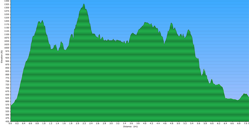
(about 1,300'+ total elevation gain)
Estimated hiking time: 4.5+ hours
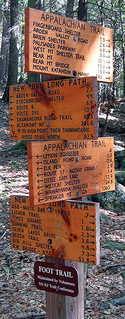
From the parking lot take the path through the middle of the field eastward to get to the treeline. Take the Appalachian Trail (AT, white blazes) eastward (which is actually in the north bound direction as far as the AT is concerned) into the woods. Soon after the "Lemon Squeezer" make a right onto the Long Path (blue/turquoise blazes). The Long Path will meet the Arden-Surebridge trail (A-SB, red triangle on white blazes) and the northern terminus of the White Bar trail (white blazes) in the same general area. Make a right onto the White Bar trail.
The White Bar trail will merge for a while with the Dunning trail (yellow blazes). When they split make a right to stay on the Dunning trail. At the end (not before!) of the Dunning trail make a left to go onto the Nurian trail (white blazes). Make a right onto the Stahahe Brook trail (red horizontal stripe on a white background blazes) when you intersect it (on your right). At the the end of the Stahahe Brook trail continue straight (on the same unpaved road) onto the A-SB heading north (and back towards the parking area). Take the A-SB back to the to parking area.
References: NY-NJTC Trail Map #119 (Northern Harriman-Bear Mountain Trails)
Driving Directions from New York City
Take the George Washington Bridge to the Palisades Interstate Highway heading north.
In about 19 miles exit the parkway at exit 9W onto the Thruway (Route 87/287) which heads west. About 10 miles later, exit the Thruway at exit 15A. At the exit turn left onto Route 17 North.
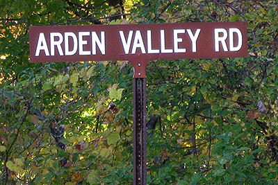
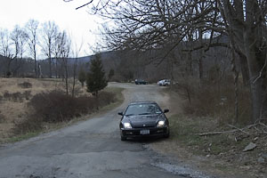
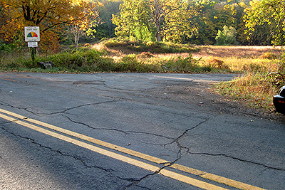
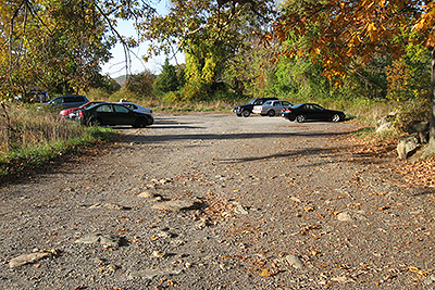
After about 10.5 miles, turn right onto Arden Valley Road. Make a right and go 0.5 miles until a parking area turnoff on your right. Turn right and park in the parking area, Elk Pen (GPS: N 41.26534, W 74.15363). The entire trip is about 47 miles and should take less than an hour.
Public Transportation
From the Port Authority in New York City there is a bus that leaves people off on Route 17 near Arden Valley Road.
Click here for What to Bring on a Hike
Click here for Information for Group Hikes
Questions: Michael Brochstein
 |
 |
|
| Arden Valley Road sign at turnoff from Route 17 North. (October 2010) | Road leading into the Elk Pen parking area from Arden Valley Road. (April 2004) | |
 |
 |
|
| The turnoff for the parking area. Make a right here, going from Arden Valley Road to the parking area. (October 2010) | The parking area. (October 2010) | |
 |
 |
|
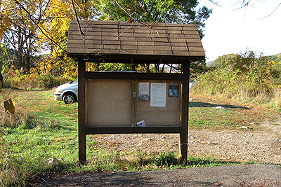
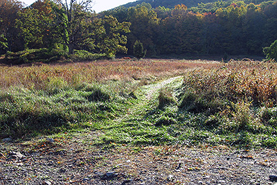
| Information board inside the parking area. Too bad there is no useful information here for hikers (how about a map with a "You are here" label), they seem to have some unused space in it. (October 2010). | The start of the trail (going from the parking area eastward) to where the marked trails are, at the treeline. The hike starts here. (October 2010) | |
 |
 |
|
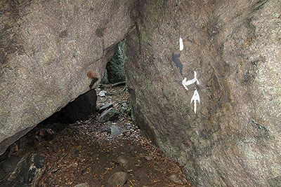
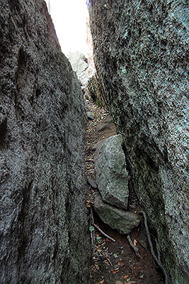
| Entrance to the Lemon Squeezer. (September 2008) | The Lemon Squeezer. (September 2008) | |
 |
 |
|
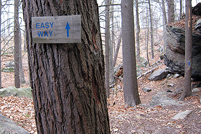
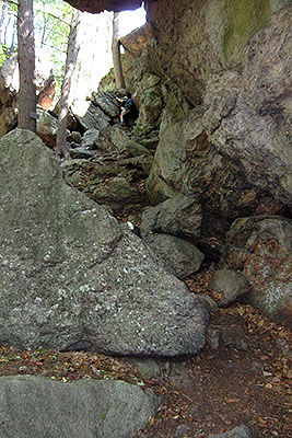
| About halfway through the Lemon Squeezer (before the rock scrambling section) there is an "Easy Way" (a side trail) to finish your journey through the Lemon Squeezer and avoid most of the rock scrambling. (November 2010) | Getting out of the Lemon Squeezer (the rock scrambling section). (September 2008) | |
 |
||
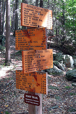
| The above sign is found at the junction of the Appalachian Trail and the Long Path. Make a right at this point from the AT onto the LP heading south. (September 2008) | ||
 |
 |
|
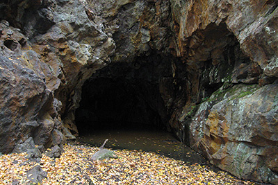
| The outer entrance to the Boston Mine, just off the Dunning trail near Island Pond Road (October 2010). | The inner entrance to the Boston Mine (it is not recommended that you try to enter the mine!) (October 2010). | |
 |
||
| Elevation profile | ||
 |
||
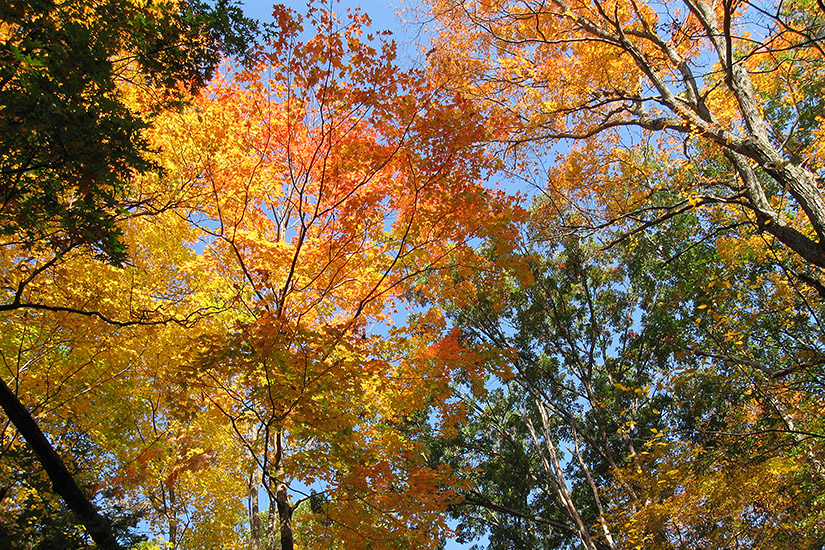
| Fall colors near Elk Pen (October 17, 2010) | ||
 |
||
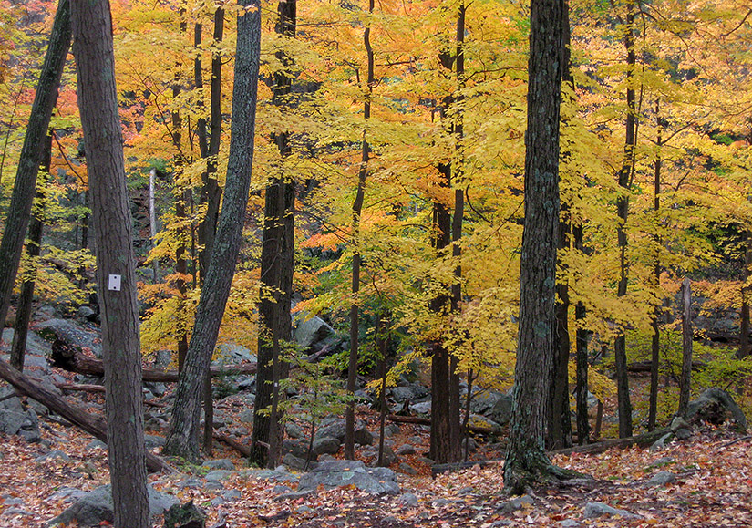
| Fall colors along the Nurian Trail (October 24, 2010) | ||
 (September 2008) |
||
Last updated: 11/2010
Copyright © 2008-2010 Michael Brochstein. All rights reserved.