|
|
WARNING/DISCLAIMER: Hiking can be dangerous and the information furnished below may contain errors! |
Bear Mountain Hike
Total Distance: 4+ miles
Difficulty: medium+ (challenging hill, 1100'+ altitude gain, small
amount of rock scrambling)
Estimated hiking time: 2.5+ - individual, 3.5+ hours - group
Walk westward on the road immediately adjacent to the south side of the Bear Mountain Inn towards the woods/mountains behind it. At the edge of the woods (at an intersection) pick up the start of the Major Welch Trail (red blazes) which will head off to the right. In this area will also be the start of the Suffern-Bear Mountain trail (yellow blazes) and blazes for the Appalachian Trail (white blazes). Take the Major Welch Trail (red blazes) up to Perkins Tower atop Bear Mountain. Please note that the red blazing gets worse as you approach the top.
Take the Appalachian Trail (white blazes) northward (actually a mostly eastern heading trail at this point) back down towards the Bear Mountain Inn. The AT is found on the side of the mountain that faces the front door of Perkins Tower (? 100+ feet from the door).
REFERENCES: NY-NJTC Map #119 (Harriman Bear Mountain Trails)
Driving Directions from NYC to the Bear Mountain Inn
From NYC take the George Washington Bridge to the Palisades Interstate Parkway (going north). Take the Palisades Interstate Parkway for about 40 miles until its end at the traffic circle just before Bear Mountain Bridge.
At the traffic circle make a right onto Route 9W South and follow signs to Bear Mountain. Veer/turn right at the traffic light (fork in the road) off of Route 9W just south of the traffic circle and go up the hill and proceed (south) until the entrance to Bear Mountain Park/Inn (Bear Mountain Inn: N 41.31314, W 073.98892) which should be less than a mile from the traffic circle.
Park in the main parking field (there may be a $8.00 fee) just after the parking toll booth as close to Bear Mountain Inn as you can.
Driving distance is about 46 miles and the total driving time is estimated at under one hour without traffic.
Public Transportation
From the Port Authority in New York City there is a bus that leaves people off in front of the Bear Mountain Inn.
Click here for What to Bring on a Hike
Click here for Information for Group Hikes
Questions: Michael Brochstein
 |
|
|
|
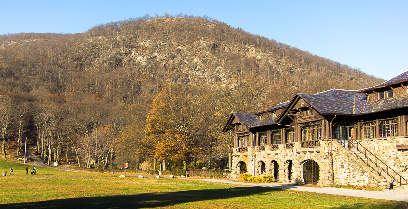
Bear Mountain Inn, with Bear Mountain rising behind it. (May 2015) |
Parking lot adjacent to the Bear Mountain Inn (November 2012)
| |
 |
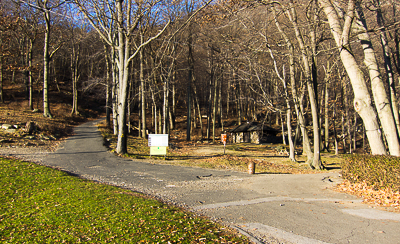 | |
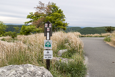
| (November 2012) | The intersection where the Major Welch trail begins. (November 2012) | |
 |
||
|
The hike starts by following the road
immediately adjacent to the south side of the Bear Mountain Inn towards the woods/mountains. (November 2012) |
||
 |
||
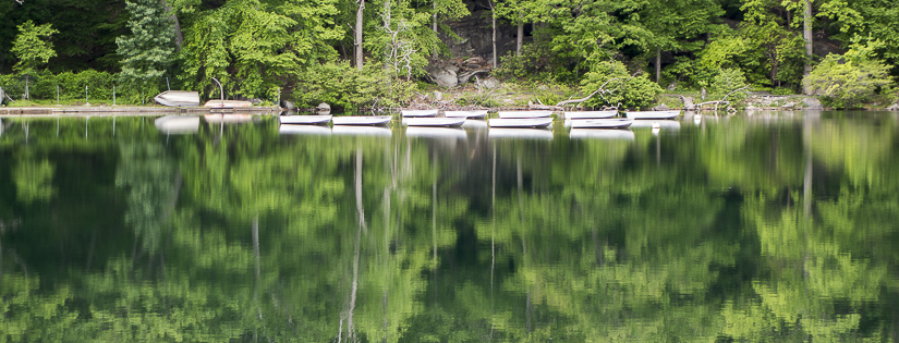
| Hessian Lake, with Bear Mountain rising behind it on the left. (May 2015) | ||
 |
||
| Hessian Lake. (May 2015) | ||
 |
 | |
| Trail markers for the Major Welch trail. (November 2012) | The beginning of the Major Welch trail runs along the western edge (road around) of Hessian Lake and then turns into the woods here (watch for the trail markers). (November 2012) | |
 |
||
|
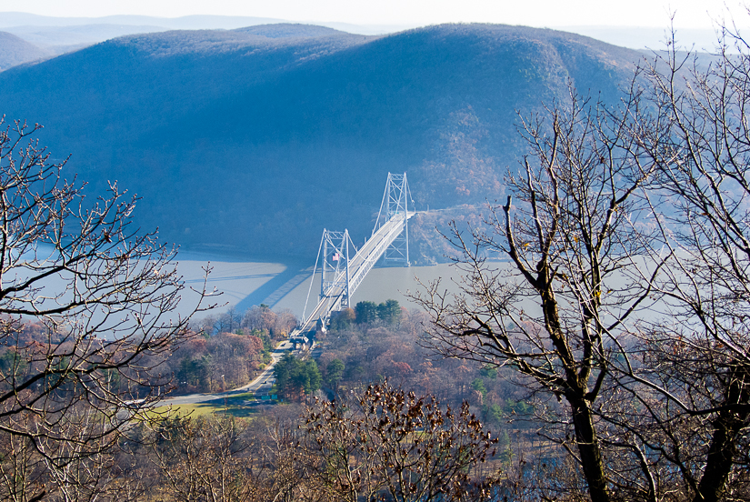
The Bear Mountain Bridge over the Hudson River as seen from the Major Welch trail. (November 2012) |
||
 |
 | |
| Perkins Tower (May 2015) | The marker signaling the end of the Major Welch trail (top three blazes in a downward facing triangle formation) and for the Appalachian Trail heading back to the Bear Mountain Inn. It is located opposite the front door of Perkins Tower and marks the way you will head down. (May 2015) | |
 |
 | |
| View of the top floor of Perkins Tower with windows on all four sides affording major panoramic views. (May 2015) | One of the many views from Perkin's Tower. The Hudson River is shown in the top left area of the image. (May 2015) | |
 |
||
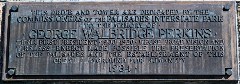
| Plaque on Perkins Tower (May 2015) | ||
 |
||
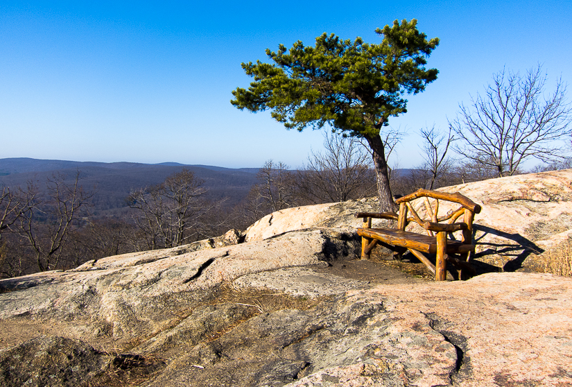
| A nice lunch spot on top of Bear Mountain. (November 2012) | ||
 |
||
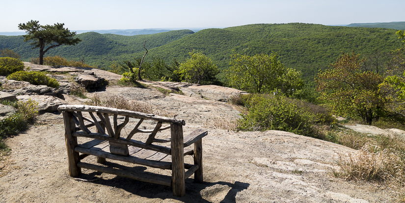
| Another nice lunch spot on top of Bear Mountain (The Hudson River is in the background). (November 2012) | ||
 |
||
| A view westward from atop Bear Mountain (May 2015) | ||
 |
||
|
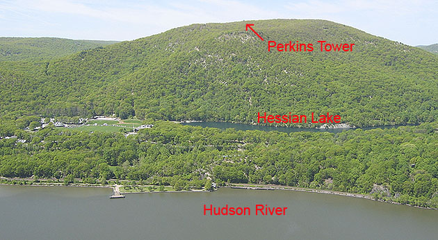
Photo taken from Anthony's Nose (located across the Hudson River) (May 2006). |
||
 |
||
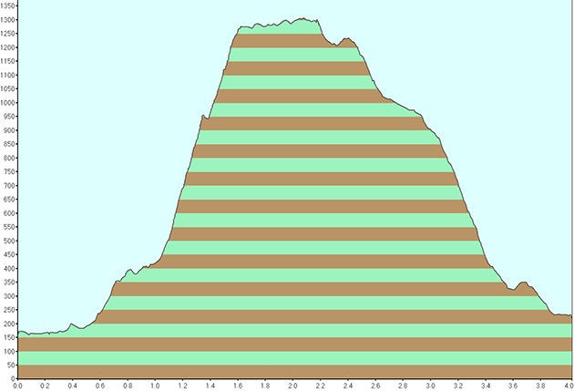
| Elevation profile for hike. | ||
Last updated: 5/2015
