|
|
WARNING/DISCLAIMER: Hiking can be dangerous and the information furnished below may contain errors! |
Jackie Jones Fire Tower Hike
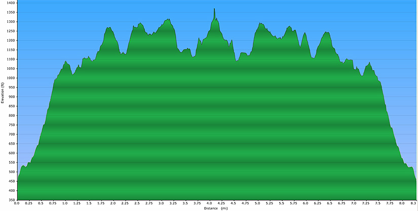
Length: 8 miles
Difficulty: moderate - strenuous (1,700' elevation gain, some rocky terrain / trailbed)
Estimated Hiking Time: 5 - 6 hours
From the parking area take the Tuxedo-Mount Ivy
trail (red blazes) into the woods until you intersect the
Red Arrow trail (also red blazes) on your right. Make a
right onto the Red Arrow trail. At the end of the Red Arrow trail
veer right onto the Suffern-Bear Mountain trail (S-BM, yellow
blazes). Take the S-BM until you reach the Jackie Jones
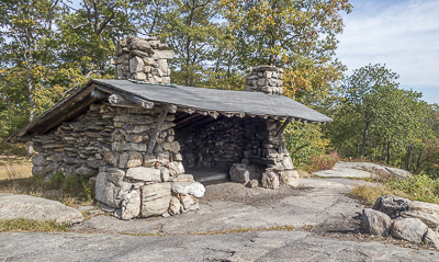
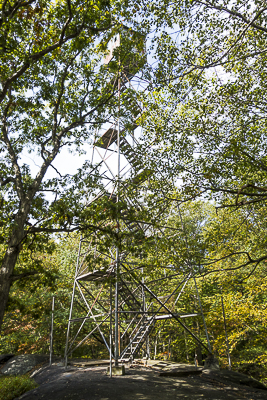
Fire Tower (FYI; you will pass the Big Hill shelter just before you
intersect the Long Path (blue blazes).
Turn around at the Fire Tower
(after eating your lunch there). Take the S-BM south until you reach the Red
Arrow trail on your left. Take the Red Arrow trail its entire length and
then go straight onto the T-MI trail (do not make a right). Take the T-MI
trail back to the parking area.
IMPORTANT NOTE / WARNING: In scouting this
hike (September 2014) the author made many more unintentional wrong turns than
normal because there are a multiple of places where additional trail markers
are needed. This hike is not recommended for those with novice or poor
route navigation skills.
References: NY-NJ Trail
Conference Trail Map #118 (Southern Harriman - Bear Mountain Trails).
Driving Directions from NYC to the Trailhead Parking Area
From NYC take the George Washington Bridge to the
Palisades Interstate Parkway (going north). Exit the Parkway
at Exit 13 and make a right onto Route 202 West (Haverstraw
Road). Take Route 202 West for about 0.5 miles and
make a right onto Ladentown Road. In about one mile
make a right onto Mountain Road. In 0.2 miles make a left
onto Diltz Road. Drive about 0.2 miles and there will be a parking
area on your right where (at the fare end / back, not visible from Diltz Road)
you will see blazes for the Tuxedo-Mount Ivy Trail (red blazes). If you see
the Ladentown electrical substation on your right then you have driven about
0.1 miles too far on Diltz Road. Park here (GPS: N 41.18515, W 74.07467).
Driving distance is about 34 miles from the Upper West Side of NYC and the
total driving time is estimated at about 45 minutes without traffic.
Click here for What to Bring on a Hike
Click here for Information for Group Hikes
Questions: Michael Brochstein
 |
 |
|
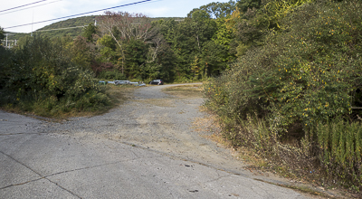
| The parking area. September 2014 | The trailhead is on the right hidden near the front of the yellow truck. September 2014 | |
 |
 |
|
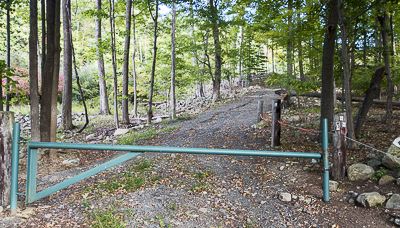
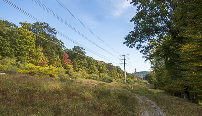
| The trailhead (TMI, with markers on the right). September 2014 | The TMI runs along this power line cut soon after starting. September 2014 | |
 |
 |
|
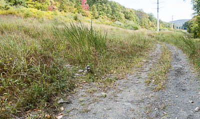
| A very lowly cairn (left of center, just below the middle of the image) delineating a left turn on the TMI trail soon after starting the hike. September 2014 | The Red Arrow trail. September 2014 | |
 |
||
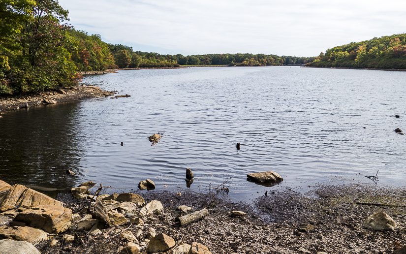
| "Third Resevoir" September 2014 | ||
 |
 |
|
| The "Big Hill" shelter. September 2014 | ||
 |
 |
|
| Jackie Jones Fire Tower. September 2014 | ||
 |
||
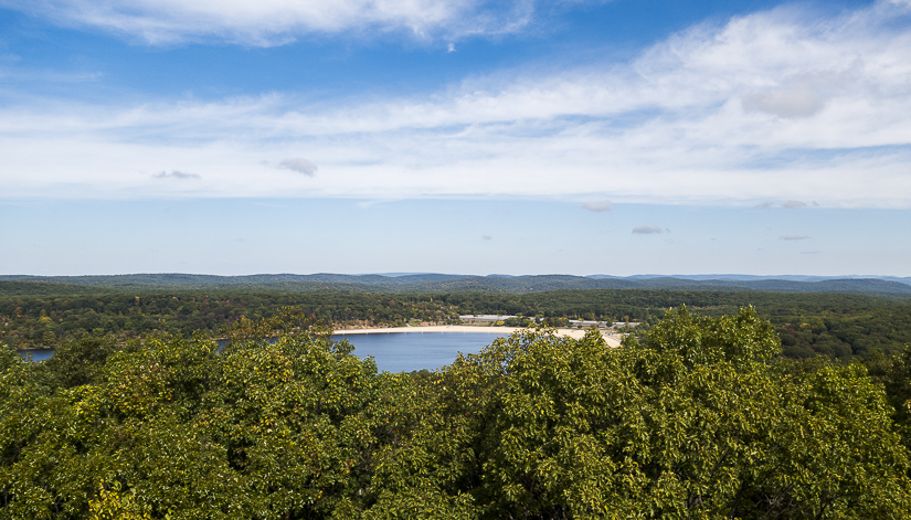
| View from Jackie Jones Fire Tower. September 2014 | ||
 |
||
| View from Jackie Jones Fire Tower. September 2014 | ||
 |
||
| View from Jackie Jones Fire Tower. September 2014 | ||
 |
||
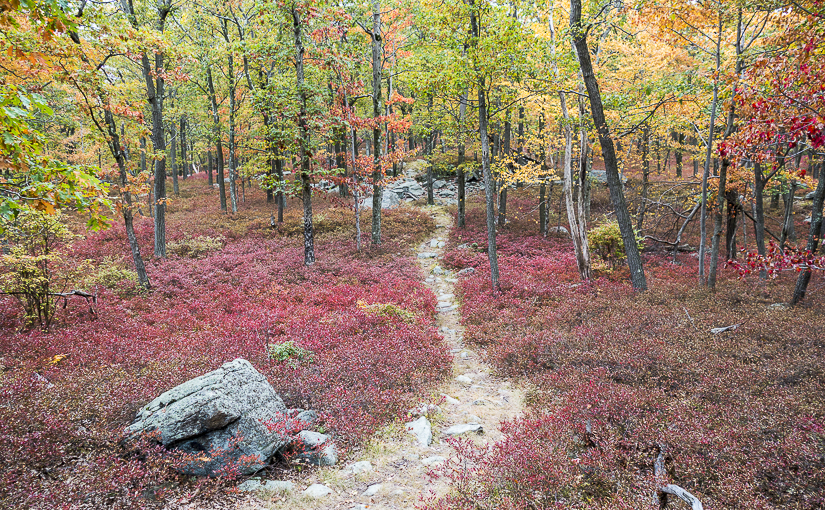
| Fall Colors. September 2014 | ||
 |
||
Last updated: 9/2014
Copyright © 2008-2014 Michael Brochstein. All rights reserved.