|
|
WARNING/DISCLAIMER: Hiking can be dangerous and the information furnished below may contain errors! |
Pine Swamp Mountain
Total Distance:
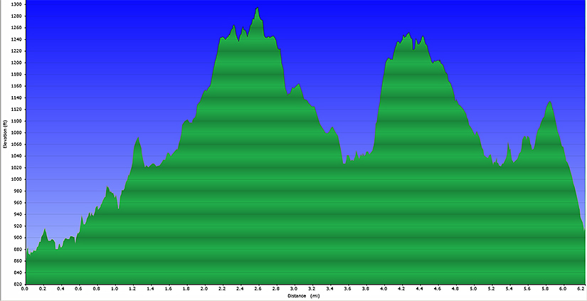
6.2 miles (600'+ total elevation gain)From the northwest corner of the parking lot take the Long Path (blue blazes). The trail will merge with the Dunning trail (yellow blazes). Turn left onto the combined trail. In a short distance they split. Continue on the Dunning trail. Take the Dunning trail until you intersect the White Bar trail (white blazes). Go straight onto the White Bar trail (do not make a left).
Take the White Bar trail until it ends where it will intersect the Arden-Sturbridge trail (A-SB, red blazes). Make a right onto the Arden-Sturbridge trail. Take the A-SB back to the parking area.
References: NY-NJ Trail Conference Trail Map #119 (Northern Harriman - Bear Mountain Trails)
Driving Directions from New York City
Take the George Washington Bridge to the Palisades Interstate Highway heading North. In about 19 miles exit the parkway at exit 9W onto the Thruway (Route 87/287) which heads west. About 10 miles later, exit the Thruway at exit 15A. At the exit turn left onto Route 17 North. After about 2.5 miles, just north of the main street area in Sloatsburg, make a right onto Seven Lakes Drive.
Drive about 8 miles (passing a traffic circle) on Seven Lakes Drive and park in a parking area for Lake Skannatati on the left side of the road (Lake Askoti is on the right side of the road). The parking area (N 41.24221, W 074.10215) >is gotten to by turning left and driving down a very short road (there is a sign at the turnoff) and is less than a mile north of the traffic circle. The entire trip is about 47 miles and should take an hour without traffic.
Click here for What to Bring on a Hike
Click here for Information for Group Hikes
Questions: Michael Brochstein
 |
 |
|
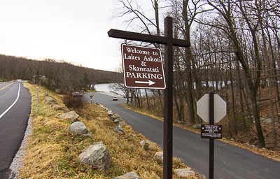
| "Welcome to Lakes Askoti & Skannatati. Parking" (November 2012) | ||
 |
||
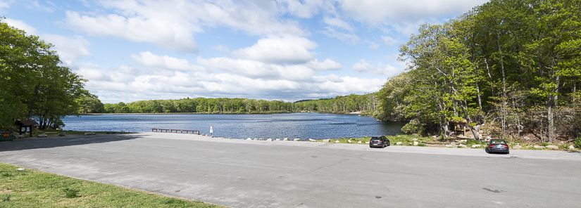
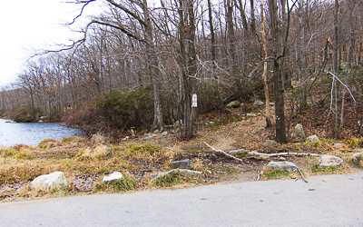
| Parking area by Lake Skannatati. The hike starts / ends on the right side of the lake between the two cars shown above. (May 2015) | ||
 |
 |
|
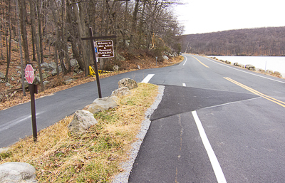
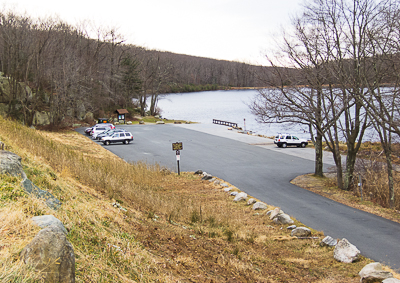
| Parking area (November 2012) | Area (on the right) where both the Long Path and Arden-Surebridge trails can be found (November 2012). | |
 |
 |
|
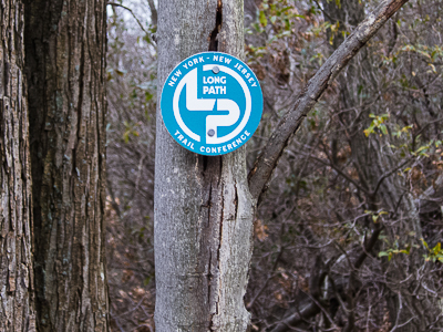
| The Arden-Surebridge trailhead (near the parking area). (November 2012) | Marker for the Long Path (blue blazes are also used). (November 2012) | |
 |
||
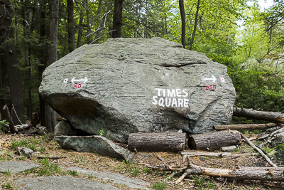
| "Times Square" (May 2015) | ||
 |
||
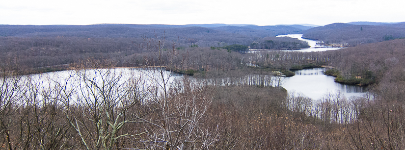
| View from the Arden-Surebridge trail near the parking area. (November 2012) | ||
 |
||
| Elevation profile. | ||
Last updated: 5/2015