|
|
WARNING/DISCLAIMER: Hiking can be dangerous and the information furnished below may contain errors! |
Popolopen Torne
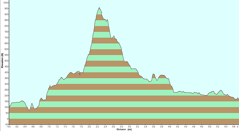
Total Distance: approximately 6 miles
Difficulty: moderate - strenuous (steep climb, rock scrambling,
1,000'+ total elevation gain)
Estimated hiking time: 3.5+ hours - individual (4.5+? - groups)
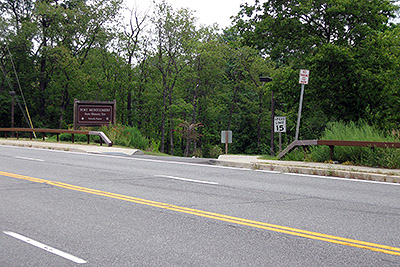
From the parking area walk back to Route 9W and carefully cross it. Make a left and walk south on Route 9W. Just after the bridge, on your right, will be the start of the Popolopen Gorge Trail (red blazes).
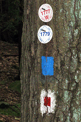
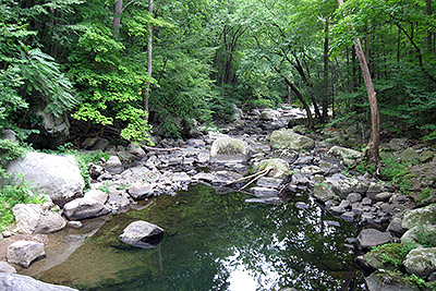
Take the Popolopen Gorge trail for about 1.4 miles until you meet the combined Timp-Torne (blue blazes), 1777W (red marker) and 1779 (blue marker) trails. Make a right onto this combined (three trail) trail. (The PG trail goes straight here and if you miss this turn then you will see the blazes for all four trails). In a fairly short while (about 0.1 miles) take the Timp-Torne trail when it splits off to the left. You will now climb Popolpen Torne and see some truly excellent views. This is a great place to have lunch or a snack if it is not too windy or cold here.
Continue in the same direction on the Timp-Torne trail as it meets up again with the 1777W and 1779 trails. Make a left onto what is now the combined Timp-Torne / 1777W / 1779 trail. A short while before you reach Brooks Lake you will walk for a short distance along Mine Road. The blazing could be better here! Make a right onto the road as the initial blazes indicate and eventually on the left will be the continuation of the trail.
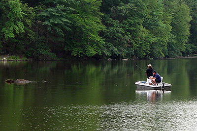
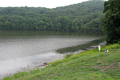
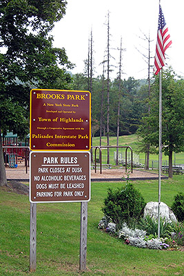
In about a mile from where the Timp-Torne trail rejoined with the 1777W and 1779 trails you will reach the Brooks Lake trail (red blazes). Make a left for a (one mile) loop around the lake. You will walk through Brooks Park which is located at a parking area by the lake. It is a nice place to rest. Make a left when you get back to the combined Timp-Torne / 1777W / 1779 trails and they will soon lead you back to your car (in about a half-mile).
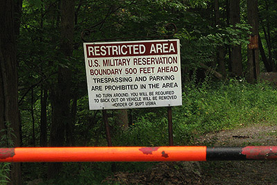
NOTE: Do not be tempted to stray onto the property of the United States Military Academy (West Point)!
REFERENCES: NY-NJTC Map #119 (Harriman Park - Northern), 50 Hikes in the Lower Hudson Valley (Second Edition) page 141-144
Driving Directions from New York City
From NYC take the George Washington Bridge to the Palisades Interstate Parkway (going north). Take the Palisades Interstate Parkway for about 40 miles until its end where you pick up Route 9W North at a traffic circle just before the Bear Mountain Bridge.
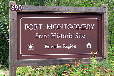
Take Route 9W North for about a quarter-mile and make a right to go to the Fort Montgomery State Historic Site. Park in the (free) parking area here (N41.32404, W73.98782). The total trip is a about 44.5 miles and the driving time is no more than one hour without traffic.
Public Transportation
None for this hike exactly but there is a bus from the New York Port Authority that goes to the nearby Bear Mountain Inn.
Click here for What to Bring on a Hike
Click here for Information for Group Hikes
Questions: Michael Brochstein
 |
 |
|
| Fort Montgomery State Historic Site parking lot and Visitor's Center with Anthony's Nose across the river and the Bear Mountain Bridge in the background (August 2008). | ||
 |
 |
|
| The entranceway and sign on Route 9W for the Fort Montgomery State Historic Site (August 2008). | ||
 |
 |
|
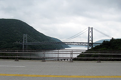
| The Bear Mountain Bridge (August 2008). | Walking south along Route 9W to find the Popolopen Gorge trail at the far end on the right (August 2008). | |
 |
 |
|
| The start of the Popolopen Gorge trail (August 2008). | If you see this set of markers for four trails (the 1777W, 1779, Timp-Torne and Popolopen Gorge trails) then you have gone too far. You missed the turnoff to the right to leave the Popolopen Gorge trail and go onto (only) the top three trails shown above (August 2008). | |
 |
 |
|
 |
 |
|
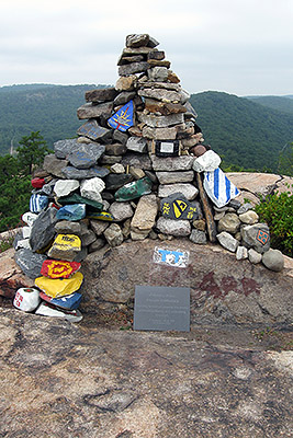
| The marker at the top of Popolopen Torne (August 2008). | Close-up of the plaque at the bottom of the marker (August 2008). | |
 |
||
| One of the panoramic views from Popolopen Torne (August 2008). | ||
 |
 |
|
| Don't go here where you're not supposed to! You will go near this sign to stay on the trail but you should not go 500' ahead! (August 2008) | Brooks Lake (August 2008) | |
 |
 |
|
| Brooks Park (August 2008) | Brooks Lake (August 2008) | |
 |
 |
|
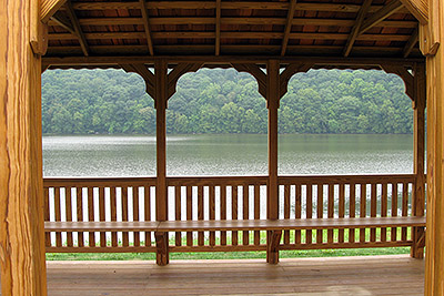
| By Brooks Lake (August 2008) | Brooks Lake (August 2008) | |
 |
||
| The entrance from the nearby road to Brooks Park (August 2008) | ||
 |
||
| Elevation profile for the hike (August 2008). | ||
Last updated: 8/2008