|
|
WARNING/DISCLAIMER: Hiking can be dangerous and the information furnished below may contain errors! |
Ringwood State Park Hike
Total Distance: approximately 5.5 miles
Difficulty: medium
Estimated hiking time: approximately 4 hours
Hiking Notes
IMPORTANT NOTE: The NY-NJTC trail map (while very useful) and the narrative below do not give enough detail to easily find the beginning of certain trails listed below. Use the long narrative in the "Circuit Hikes" book for many important details.
Take the
Ringwood-Ramapo Trail (red blazes) which starts near the two bridges by the brook to the Halifax Trail (green dot blazes). Make a right onto the Halifax trail and then another right onto the Crossover Trail (white blazes).(When on the Crossover trail and you come to a paved road, with a treatment plant on the right, make a left onto the road and go downhill to pick up the continuation of the trail on the other side of the road).
Eat lunch at the viewpoint which is reached by an unmarked side trail (on the right) from the Halifax trail soon after starting on it.
REFERENCES: Circuit Hikes in Northern New Jersey (4th edition) p.71-75, NY-NJTC Map #22 (North Jersey Trails)
Driving Directions from NYC
We are going to Ringwood Manor inside Ringwood State Park (973/962-7031).
From NYC take the George Washington Bridge to Route 80 West. Take Route 80 about 26+ miles to Exit 43B, the exit for Route 287 North (stay to the right when exiting to get 287 North). Take Route 287 North for about 13 miles until exit 55 (Wanaque / Pompton Lakes) for Route 511.
Take Route 511 North. Route 511 is a tricky route and you must carefully watch for the Route 511 signs (signs for Ringwood State Park should also be followed). You will drive about 7.4 miles until you make a right onto Sloatsburg Road.
After turning onto Sloatsburg Road drive about 2.5? miles until the entrance to Ringwood State Park is on the left side of the road (GPS: N 41.13649, W 074.25591). Head straight into the manor with its pond on your left and the big house facing you (there may be a small parking charge).
In the far end of the first large parking (past the manor) area on your left is a small road that leads to another two parking areas. Continue straight past the first two parking areas and toward a smaller parking area to the right of the refreshment stand, bathrooms, and picnic area. Park in the far parking area past the bathrooms and near the brook on your right. It is about a 0.6 mile drive from the entrance to Ringwood State Park to the parking area (GPS: N 41.14114, W 074.24950).
The total driving time is estimated at 1.25 hours without traffic and is about 61 miles.
Click here for What to Bring on a Hike
Click here for Information for Group Hikes
Questions: Michael Brochstein
 |
 |
|
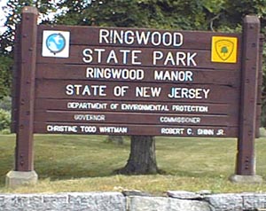
| The entrance to Ringwood State Park. (August 2001) | ||
 |
||
|
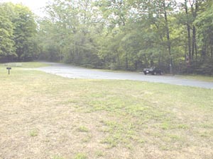
The Parking area for this hike. (August 2001) |
||
Last updated: 4/2004