|
|
WARNING/DISCLAIMER: Hiking can be dangerous and the information furnished below may contain errors! |
Hiking in Harriman State Park:
Elk Pen - Times Square Circular
Total Distance: 10.6 miles
Difficulty: Medium plus (medium hills, 1273' gain)
Estimated hiking time: 5.5+ hours (~6.5+ group)
From the parking lot take the path through the middle of the field eastward to get onto the Appalachian Trail (AT, white blazes) heading north (eastbound). Take the AT until you intersect the Ramapo-Dunderberg trail (RD, red on white blazes). Make a right onto the RD trail.
Take the RD through Times Square until you reach the Nurian trail (white blazes). Make a right (can be confusing at first) onto the Nurian trail. (FYI; The White Bar and the Nurian trails will coincide for a short while and please note that they both have white colored, albeit differently shaped, blazes). Take the Nurian trail until you reach the Stahahe Brook trail (red horizontal stripe on a white background blazes). Make a right onto the Stahahe Brook trail when you get to it. At the end of the Stahahe Brook trail head straight (staying on the unpaved/dirt road) onto the Arden-Surebridge trail (A-SB, red triangle on white blazes). At the end of the A-SB trail make a left onto the Appalachian Trail and take it back to the parking area.
References: NY-NJTC Trail Map #119 (Northern Harriman-Bear Mountain Trails)
Driving Directions from New York City
Take the George Washington Bridge to the Palisades Interstate Highway heading north.
In about 19 miles exit the parkway at exit 9W onto the Thruway (Route 87/287) which heads west. About 10 miles later, exit the Thruway at exit 15A. At the exit turn left onto Route 17 North.
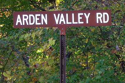
After about 10.5 miles, turn right onto Arden Valley Road. Make a right and go 0.5 miles until a parking area turnoff on your right. Turn right and park in the parking area, Elk Pen (GPS: N 41.26534, W 74.15363). The entire trip is about 47 miles and should take less than an hour.
Public Transportation
From the Port Authority in New York City there is a bus that leaves people off on Route 17 near Arden Valley Road.
Click here for What to Bring on a Hike
Click here for Information for Group Hikes
Questions: Michael Brochstein
 |
 |
|
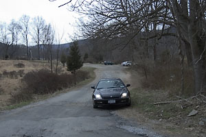
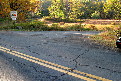
| Arden Valley Road sign at turnoff from Route 17 North. (October 2010) | Road leading into the Elk Pen parking area from Arden Valley Road. (April 2004) | |
 |
 |
|
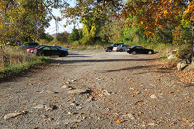
| The turnoff for the parking area. Make a right here, going from Arden Valley Road to the parking area. (October 2010) | The parking area. (October 2010) | |
 |
 |
|
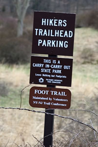
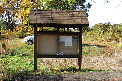
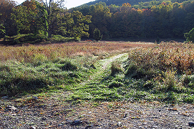
| Information board inside the parking area. Too bad there is no useful information here for hikers (how about a map with a "You are here" label), they seem to have some unused space in it. (October 2010). | The start of the trail (going from the parking area eastward) to where the marked trails are, at the treeline. The hike starts here. (October 2010) | |
|
|
 |
|
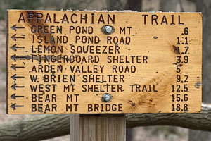
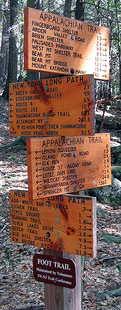
| Sign by road just outside the Elk Pen parking area. (April 2004) | Sign on the Appalachian Trail near the junction of the AT and Arden Road, just east of the Elk Pen parking area. We will be heading in the direction of the arrows (i.e. to the Lemon Squeezer). (April 2004) | |
|
|
 |
|
|
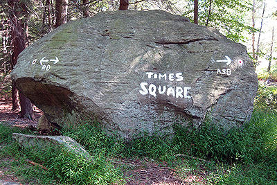
Times Square, admittedly not as the impressive as the more famous one. (September 2008) |
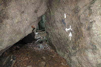
Entrance to the Lemon Squeezer. (September 2008) | |
 |
 |
|
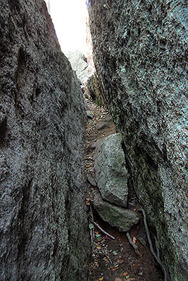
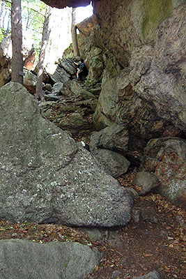
| The Lemon Squeezer. (September 2008) | Getting out of the Lemon Squeezer (the rock scrambling section). (September 2008) | |
 |
||
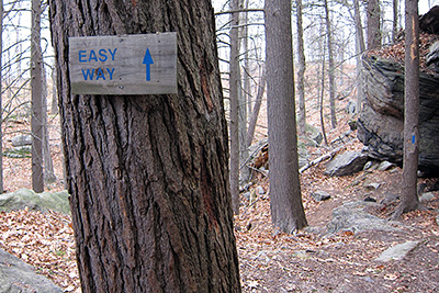
| About halfway through the Lemon Squeezer (before the rock scrambling section) there is an "Easy Way" (a side trail) to finish your journey through the Lemon Squeezer and avoid most of the rock scrambling. (November 2010) | ||
 |
 |
|
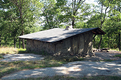
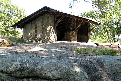
| The Bald Rocks Shelter (just a few yards east of the Ramapo Dunderberg trail, just south of where the RD intersects with the Dunning trail). (September 2008) | ||
 |
||
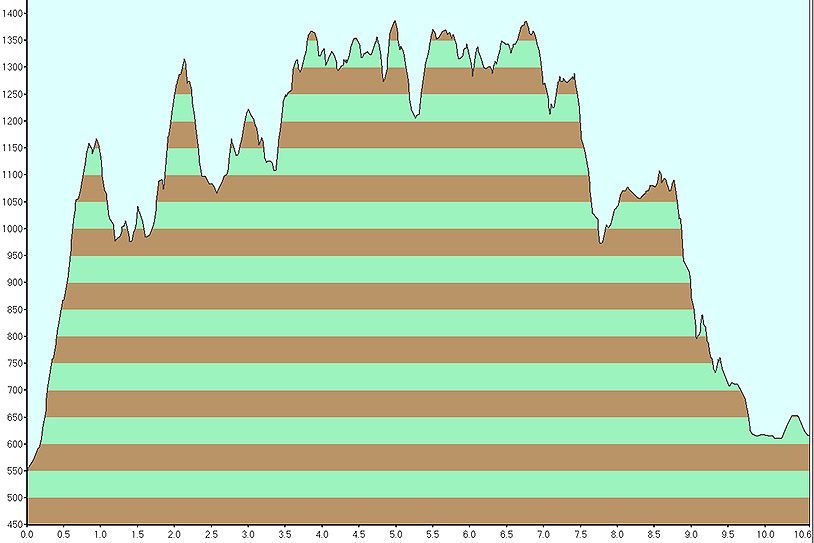
| Elevation profile (September 2008). | ||
 |
||
| (September 2008) | ||
Last updated: 11/2010
Copyright © 2008-2010 Michael Brochstein. All rights reserved.