|
|
WARNING/DISCLAIMER: Hiking can be dangerous and the information furnished below may contain errors! |
Delaware Water Gap - Sunfish Pond Hike
Length: 10 miles (1,300+ total elevation gain)
Difficulty: moderate - strenuous (some hills and rocky terrain / trailbed)
Estimated Hiking Time: 5.5 - 7 hours
Take the Appalachian Trail (AT, white blazes) north (eastbound) until you reach Sunfish Pond.
After seeing Sunfish Pond backtrack a very short
distance and make a left onto the Sunfish Pond woods road (eastward) until you
intersect the Turquoise trail (blue blazes).
Make a
right onto the Turquoise trail and take it until the Mt Tammany Fire Road.
Turn right onto the Mt. Tammany Fire Road and continue straight onto the Blue
Dot trail (blue blazes, do not make a right turn onto the blue dot
trail!).
Take the Blue Dot trail to the viewpoint on Mt. Tammany and then take the Red Dot / Mt. Tammany Trail (red blazes) down to the parking area.
References: NY-NJ Trail Conference map #120
Driving Directions from NYC to the Delaware Water Gap
Take the George Washington Bridge to Route 80 West. Take Route 80 west for about 70 miles. About a mile before the bridge across the Delaware River, which separates New Jersey and Pennsylvania, there is a turn-off on the right for a parking/rest area. You willfirst see a parking area to the right, then an underpass to the left and then a second parking area on the right (and then a way to get back on Route 80 straight ahead). You will be parking in this second parking area to the right. It is where both the Appalachian and Mount Tammany trails can be found. The parking area is just after mile marker 1 on Route 80 (GPS: N 40.9716 W 75.12547).
If you miss the turn off for the parking area, take the very next exit, which is the last exit in New Jersey and then follow signs (to the left) for the National Park Service Visitor's Center and then take the underpass to get to the parking area described above. Do not cross the bridge to Pennsylvania. There is no toll to be paid on this trip (only at the GW bridge on the way back). If you have paid a toll, you have gone too far!
The total driving time is estimated at 1.5 hours without traffic. Total driving distance is about 75+ miles.
Click here for What to Bring on a Hike
Click here for Information for Group Hikes
Questions: Michael Brochstein
 |
 |
|
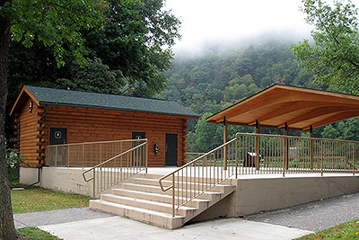
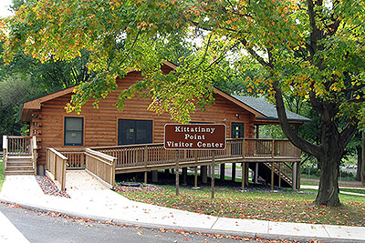
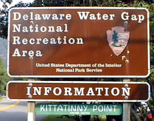
| High class facilities where the old visitors center used to be (September 2008). | The new Kittatinny Point Visitors Center slightly easy of where the old one used to be (September 2008). | |
 |
 |
|
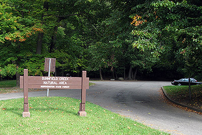
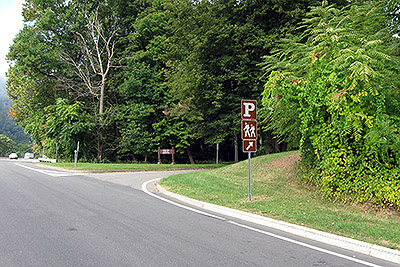
| "Dunnfield Creek Natural Area - Worthington State Forest" with the parking lot that the Appalachian and Red Dot trails pass through (park here!). (September 2008). | The entrance to the parking lot where you should park. (September 2008) | |
 |
 |
|
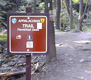
| The Appalachian Trail trail head where you will start the hike. (September 2008) | ||
 |
 |
|
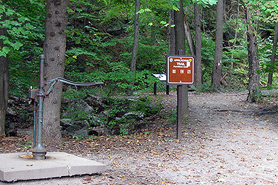
| The Mt Tammany Trail trail head where you will end the hike. (September 2008) | ||
 |
||
|
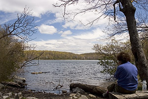
Sunfish Pond (May 2005) |
||
 |
||
|
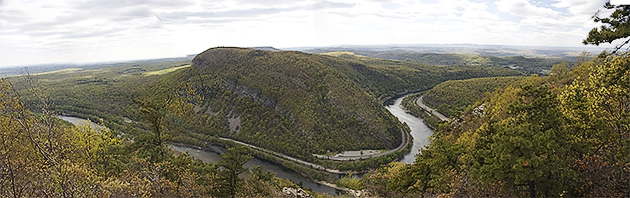
View of the Delaware River from Mount Tammany (May 2005) |
||
 |
||
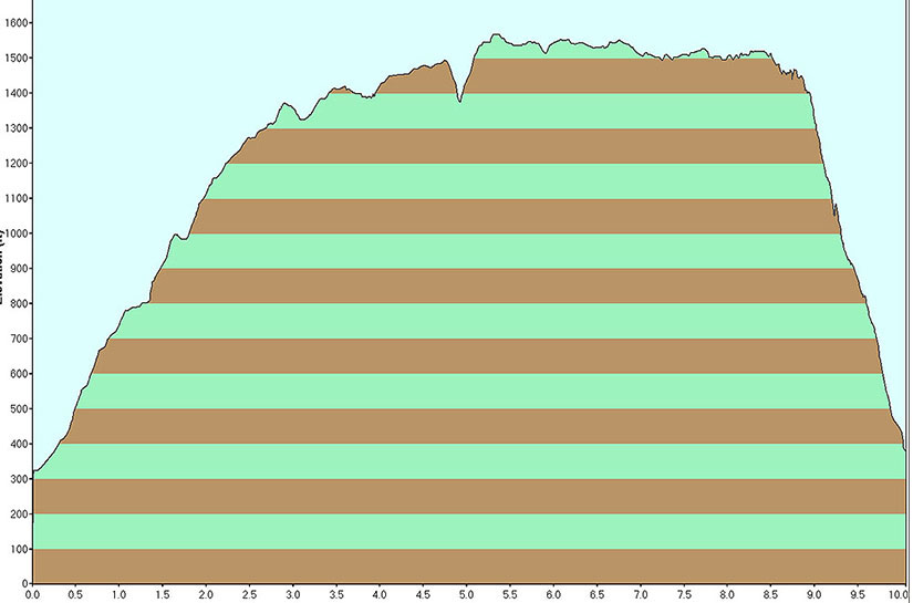
| Elevation profile (September 2008). | ||
Last updated: 9/2014
Copyright © 2008-2014 Michael Brochstein. All rights reserved.