|
|
WARNING/DISCLAIMER: Hiking can be dangerous and the information furnished below may contain errors! |
Fingerboard Shelter Hike
Total Distance: 9.4 miles
Difficulty: Medium (about 1,600'+
total elevation gain)
Estimated hiking time: 5.5+ hours (individual)
Take the Ramapo-Dunderberg trail (RD, red blazes) north (do not cross the road). Make left onto the Nurian trail (white blazes). The Nurian trail merges with the White Bar trail (white blazes). Go onto the combined Nurian / White Bar trail (don't make a left when they first merge). After they split veer right to stay onto the White Bar trail.
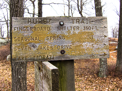
At the end of the White Bar trail veer towards the left (do not make a right) onto the Long Path (aqua colored blazes) heading north. Turn right onto the Appalachian trail (AT, white blazes). Make a right onto the Hurst trail (blue blazes) and take it a short while until you get to the Fingerboard Shelter.
Turn around and take the Hurst trail back to the combined AT /RD trail. Make a left onto the combined trail. When the AT anvd RD split, stay on the RD and take it south back to the parking area.
References: NY-NJTC Trail Maps #119
(Northern Harriman-Bear Mountain)
Driving Directions from NYC
Take the George Washington Bridge to the Palisades Interstate Highway heading North. In about 19 miles exit the parkway at exit 9W onto the Thruway (Route 87/287) which heads west. About 10 miles later, exit the Thruway at exit 15A. At the exit turn left onto Route 17 North.
After about 4.9 miles you will see the Tuxedo (Park) Train and Police Stations on your right. Continue straight.
In about 2.5 more miles turn left onto Route 17A West. Very very soon after making this left, at the top of the ramp, at the intersection just past the turnoff for Route 17A, make a right onto County Route 106 which goes over (via an overpass) Route 17 and then under the NYS Thruway.
Take County Route 106 for about 3.5 miles. Park in the parking area on the left (near blazes for the Ramapo-Dunderberg trail, GPS: N 41.23041, W 74.13980). The entire trip is about 47.5 miles and should take less than an hour.
Click here for What to Bring on a Hike
Click here for Information for Group Hikes
Questions: Michael Brochstein
 |
||
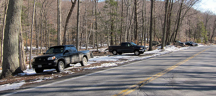
| The parking area. The hike starts just beyond the parking area at what is the far right end (see image below) of this image. (March 2011). | ||
 |
||
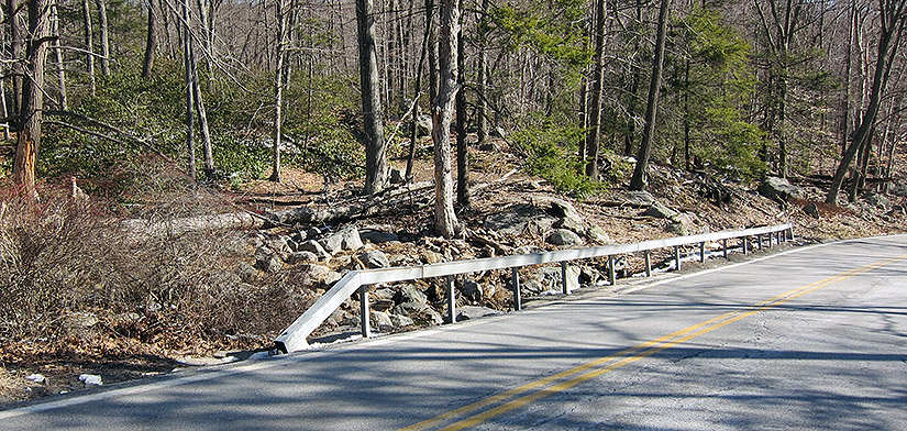
| The hike starts on the Ramapo-Dunderberg trail which is about 20 feet or so off the road at the far right/east end of this small bridge which passes over a small stream. This bridge is found about 100 feet eastward on Route 106 from the parking area. (March 2011) | ||
 |
 |
|
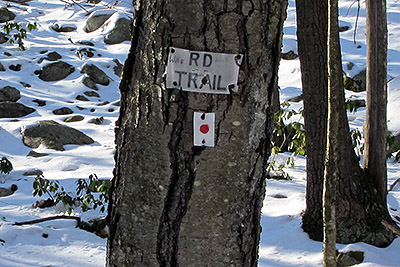
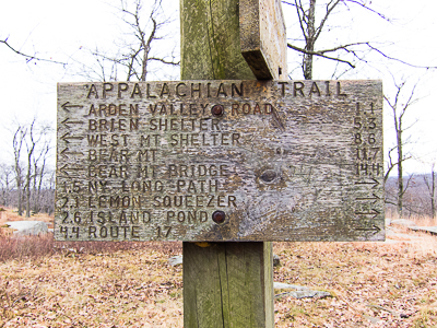
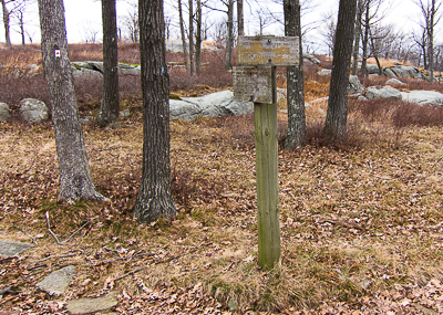
| Markings for the Ramapo-Dunderberg trail found directly across the road from the parking area. This hike does not go this way! (March 2011). | Information sign at the intersection of the Hurst trail and the Appalachian trail. (November 2012) | |
 |
 |
|
| Information sign at the intersection of the Hurst trail and the Appalachian trail. (November 2012) | ||
 |
 |
|
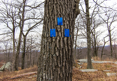
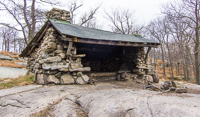
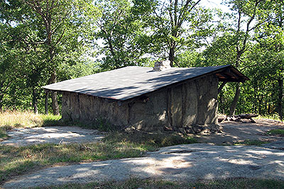
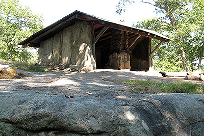
| Markers for the beginning of the Hurst trail. (November 2012) | The Fingerboard Shelter (November 2012) | |
 |
 |
|
| The Bald Rocks Shelter is east of the Ramapo Dunderberg trail, just south of where the RD intersects with the Dunning trail. (September 2008) | ||
 |
||
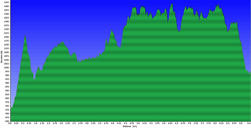
| Elevation profile | ||
Last updated: 10/2014
Copyright © 2011-2014 Michael Brochstein. All rights reserved.