|
|
WARNING/DISCLAIMER: Hiking can be dangerous and the information furnished below may contain errors! |
Ramapo Mountains
Total Distance: 10 miles
Difficulty: medium+ (1,000+ total elevation gain)
Estimated hiking time: 6+ hours - individual, 6.5 - 7.5 - groups
Hiking Notes
From the parking area take the Pine Meadow trail (PM, red blazes), which starts at the treeline, a short distance until you reach the utility line cut (gas, then electrical). Make a right and walk on the far side along this following the blazes for a short while until you make a (not well marked) sharp left to continue to follow the blazes. The trail markings along the utility line cut area are not great but fortunately this section is relatively short. Continue on the Pine Meadow trail until you get to the intersection with the Suffern-Bear Mountain trail (yellow blazes).
Make a right onto the S-BM trail. If you are on a trail with blazes for both the PM and S-BM trails then you have missed the turnoff for the taking just the S-BM trail. Make a left onto the Tuxedo-Mount Ivy trail (red blazes). Make a right onto the Breakneck Mountain trail (white blazes) and take it until its terminus. At that point go straight onto the S-BM trail (do not make a right!) and take it until Big Hill Shelter. Eat lunch!
After lunch turn around and retrace your steps on the S-BM trail and stay on it until you reach the intersection with the Pine Meadow Trail (the same one you were at earlier in the hike). Make a left onto the Pine Meadow trail and take it back (going back through the utility line cut area) to the parking area.
REFERENCES: NY-NJTC Map #118 (Harriman Bear Mountain Trails)
Driving Directions from New York City
From NYC take the George Washington Bridge to the Palisades Interstate Parkway (going north). Exit the Parkway at Exit 13 and make a right onto Route 202 West (Haverstraw Road). Take Route 202 West for about 2.75 miles and make a sharp right to proceed to the Town of Ramapo Equestrian Center. Drive about 0.25 miles on this road (and over the single lane bridge) until you get to the Equestrian Center. Park here (GPS: N: 41.17484, W: 74.08539). The turn-off for the Equestrian Center will come after you have passed the intersection with Route 306 (Monsey Ladentown Road) and before Wilder Road.
Driving distance is about 36+ miles from the Upper West Side of NYC and the total driving time is estimated at about 45 minutes without traffic.
Public Transportation
N/A
Click here for What to Bring on a Hike
Click here for Information for Group Hikes
Questions: Michael Brochstein
 |
 |
|
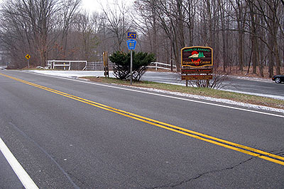
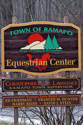
| Route 202 is the road in the foreground, the large sign for the Equestrian Center is to the right of the blue "JCT Rockland County 81" sign and the road to the Equestrian Center is in the background. You will make a sharp right from Route 202 onto the road heading to the Equestrian Center. (December 2008) | Detail of sign for the Equestrian Center. (December 2008) | |
 |
 |
|
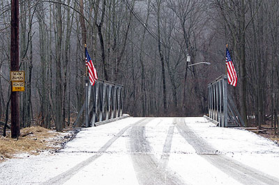
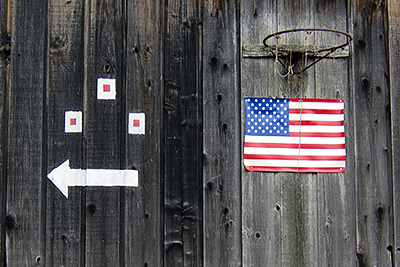
| The single lane bridge you will drive over to get to the Equestrian Center. (December 2008) | Sign on barn indicating location of the start of the Pine Meadow trail (May 2011). | |
 |
||
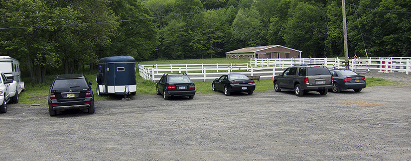
| Parking area. The start of the Pine Meadow trail is to the right. (May 2011). | ||
 |
 |
|
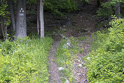
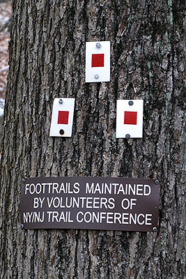
| The start of the Pine Meadow Trail (note the three trail markers in a triangle formation on the tree in the top left section of the photo above). (May 2011). | Trail Markers denoting the start of the Pine Meadow trail. (December 2008). | |
 |
||
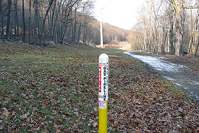
| Marker denoting the gas pipeline. In the rear is a tower for the electrical utility line. At the beginning of the hike you will walk to the left of this gas pipeline cut (towards the electrical line tower) and then make a sharp left to stay on the Pine Meadow trail (it is not well marked!). (December 2008) | ||
 |
 |
|
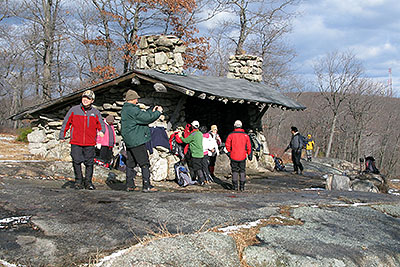
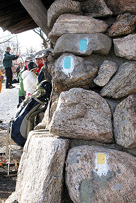
| The Big Hill shelter. (December 2008) | There are trail markings on the far side of the Big Hill shelter for the (yellow blazed) Suffern-Bear Mountain trail (the one you took to get there) and the Long Path (blue markers on top). (December 2008) | |
 |
||
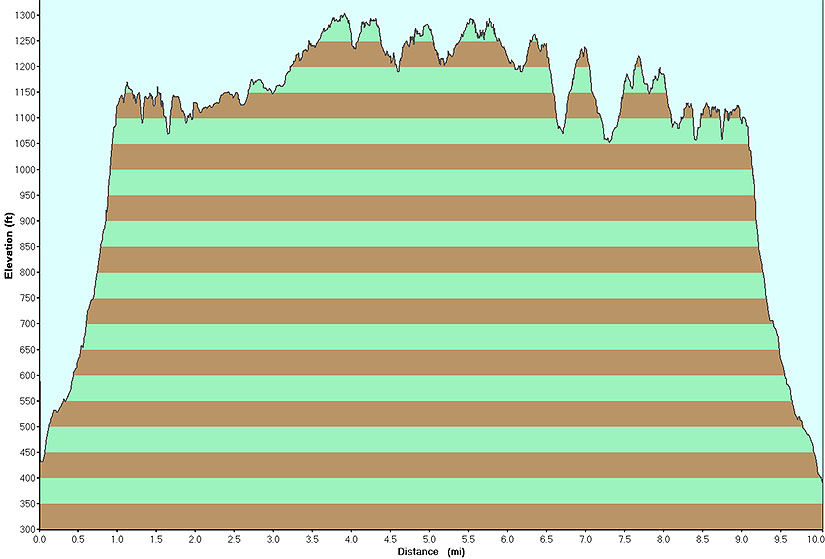
| Elevation profile for the hike. (December 2008) | ||
Last updated: 5/2011